
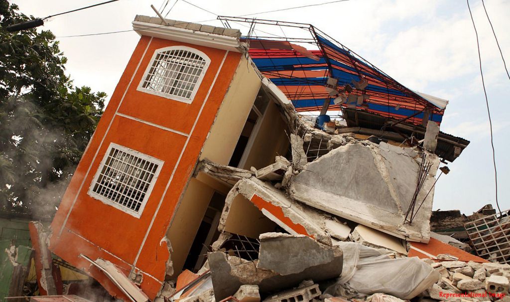
You may think that earthquakes seldom occur in India. But remember the Bhuj earthquake in Gujarat in 2001, and the Latur earthquake in Maharashtra in 1993? Recently too we had a close shave with the Nepal earthquake in 2015.
This makes it necessary to have a proper hazard-based seismic (caused by movements in the earth’s surface) design model of structures such as buildings for the country. There are various methods to obtain site-specific seismic hazard analysis for obtaining earthquake –resistant design values for complicated structures such as the American Society of Civil Engineers ASCE-7 of the USA, the Building Standard Law (BSL) of Japan, and EUROCODE 8 of Europe.
In India, the Indian Standard code IS 1893 is usually used to provide basic guidelines for earthquake-resistant design of structures in India. This code classifies the entire country into four zones – II, III, IV, and V.
However, this map has several drawbacks. It is not based on any concrete framework, and the theoretical background for the zone factors is not mentioned in the code. The return period for the specified design spectra is also not mentioned.
Therefore, it is necessary to have a proper map to verify and establish the seismic zones in India, and a zone-specific design spectrum, using a solid theoretical framework such as the earthquake hazard.
In recent times, certain studies have provided single short-period (T = 0.2 seconds) and long-period (T = 1 seconds) hazard maps. For an engineer, having a zone map with a design curve for any type of structure at a particular site without resorting to site-specific analysis would be invaluable. The zone map would also be based on the hazard at all periods along with a mean hazard curve at all respective periods.

In this study, the authors Ms. Bhargavi Podili and Prof. S. T. G. Raghukanth from the Department of Civil Engineering, Indian Institute of Technology Madras, Chennai, India, have accomplished exactly this kind of map.
Cluster analysis was performed on the uniform hazard response spectra (UHRS) between periods of 0.0 seconds and 5 seconds, which was derived for India on a grid using probabilistic hazard analysis.
A total of five clusters was obtained for the entire country. However, as the problem was also studied from an engineering point of view wherein the economy of the design is also prioritized, a total of seven zones/clusters was finalized.
Further analysis can be conducted to obtain zonal UHRS curves for different site conditions. The seismic zonation provided in this study could be extended to investigations involving risk analysis, land planning and others, in addition to traditional seismic design of structures.
Dr. Surendra Nadh Somala, from the Departments of Civil Engineering and Heritage Science & Technology, Indian Institute of Technology Hyderabad, Telangana, India, commented on the uniqueness of this study with the following comments: “Seismic zonation map of India which currently has four zones (II, III, IV, V) used to get updated every once in a while. These updates have only been minor for the past few iterations. This work showcases seven zones based on rigorous mathematical evaluation of hazard consistent response spectra that were derived using probabilistic analysis, for the entire country. The authors used an evolutionary clustering algorithm named particle swarm optimization and came up with the optimal number of clusters using multiple validation indices. The implications and comparison with existing zonations show that although the lower zones are comparable to those used in current codal provisions, the higher hazard zones needed ‘significantly higher’ design values.”
Article by Akshay Anantharaman
Click here for the original link to the paper